GLOBAL LIDAR & DIGITAL ENGINEERING PARTNER

Precision processing from raw point clouds to confident engineering decisions.

We support surveying, engineering, architecture, construction, infrastructure and industrial teams with accurate LiDAR, CAD, BIM and geospatial deliverables—securely and within agreed timelines.

AccurateQA-focused deliverables
SecureConfidential handling
ReliableTimeline-driven delivery
Point Peak 3D project hero visualPoint Peak 3D project hero visualPoint Peak 3D project hero visualPoint Peak 3D project hero visual
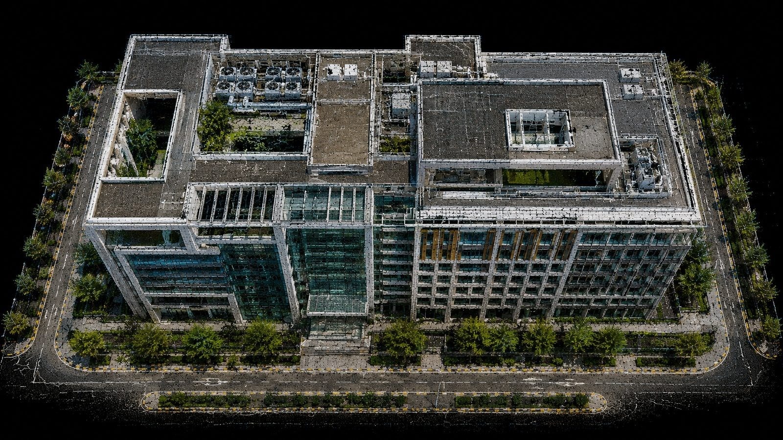
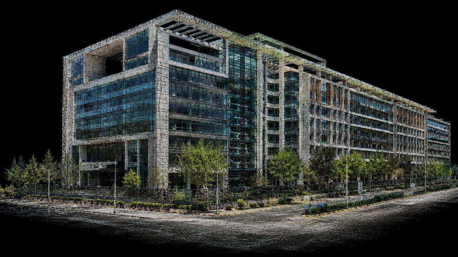
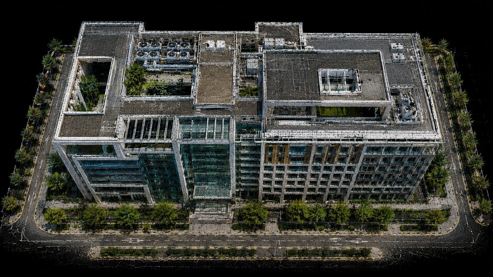
Building RGB Point Cloud • Precision LiDAR Processing

SERVICES

Complete processing support with clear technical deliverables.

Each service uses a correctly sized 1600×900 hero visual. Images fill the panel cleanly without black side bars.

01

LiDAR Data Processing

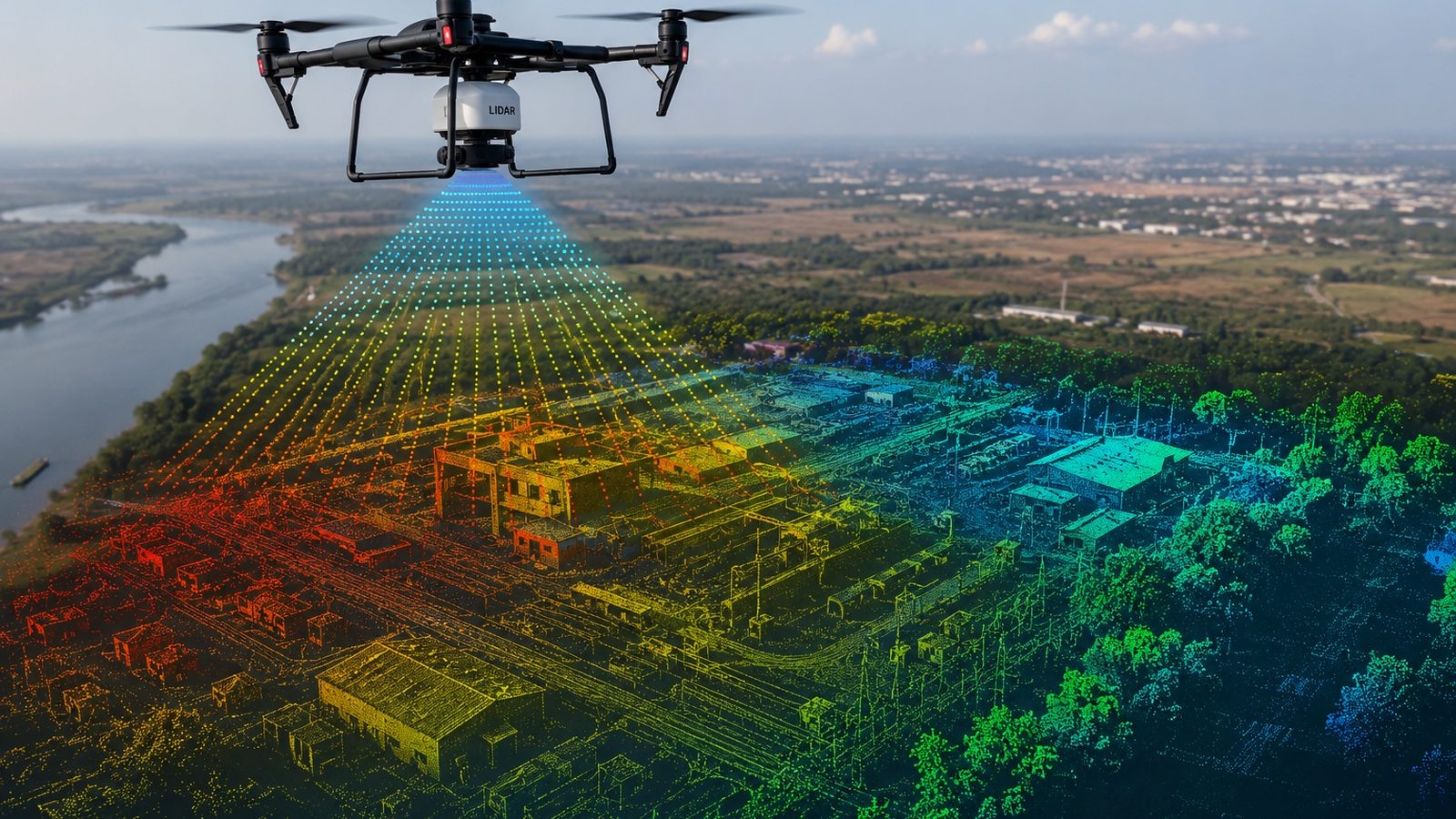
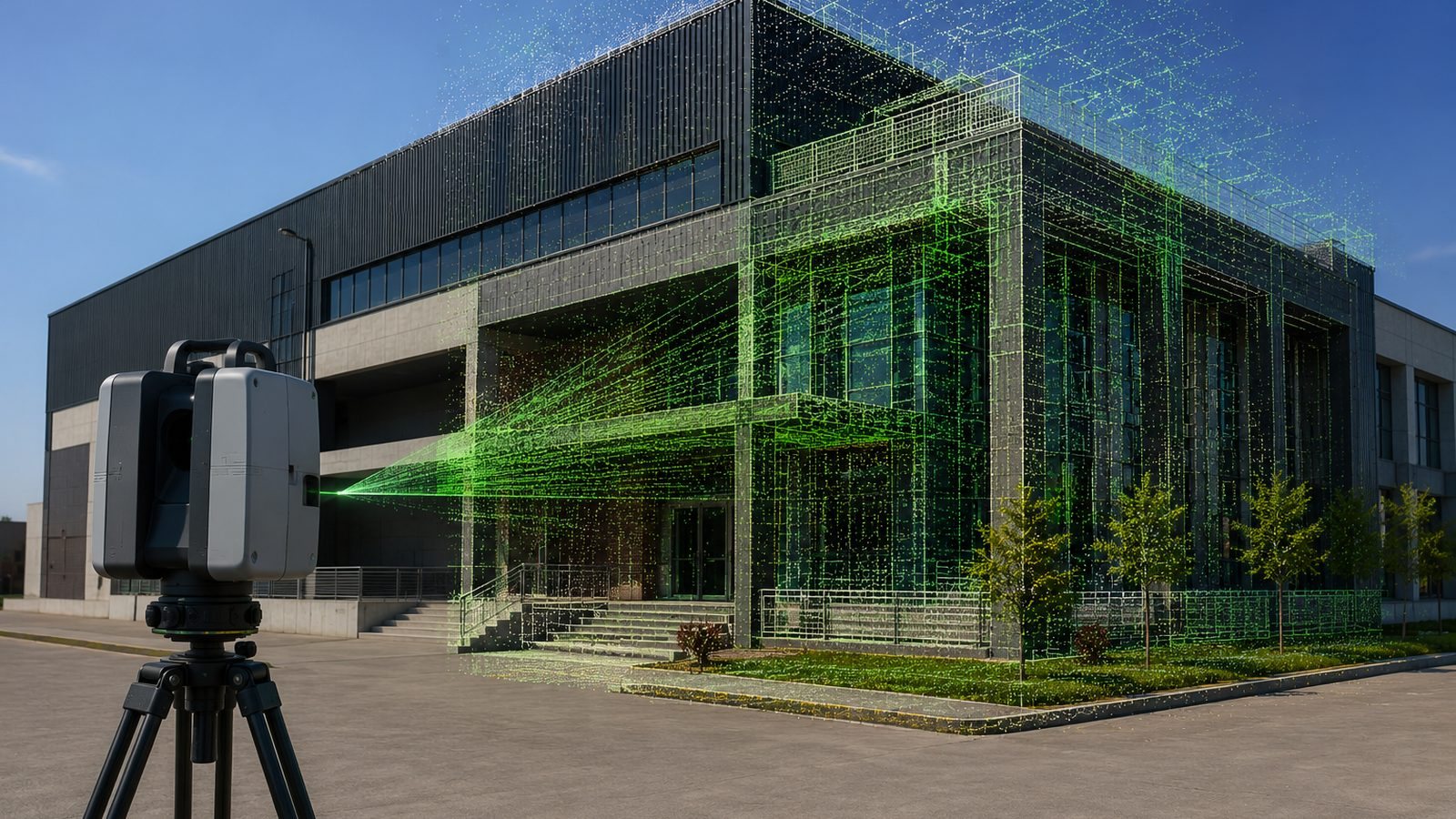
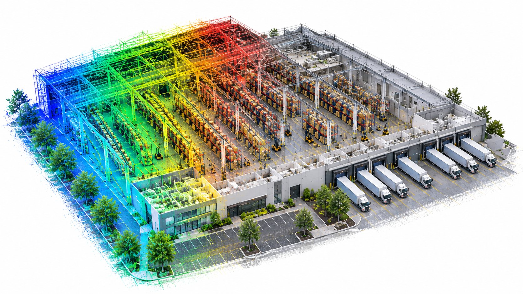
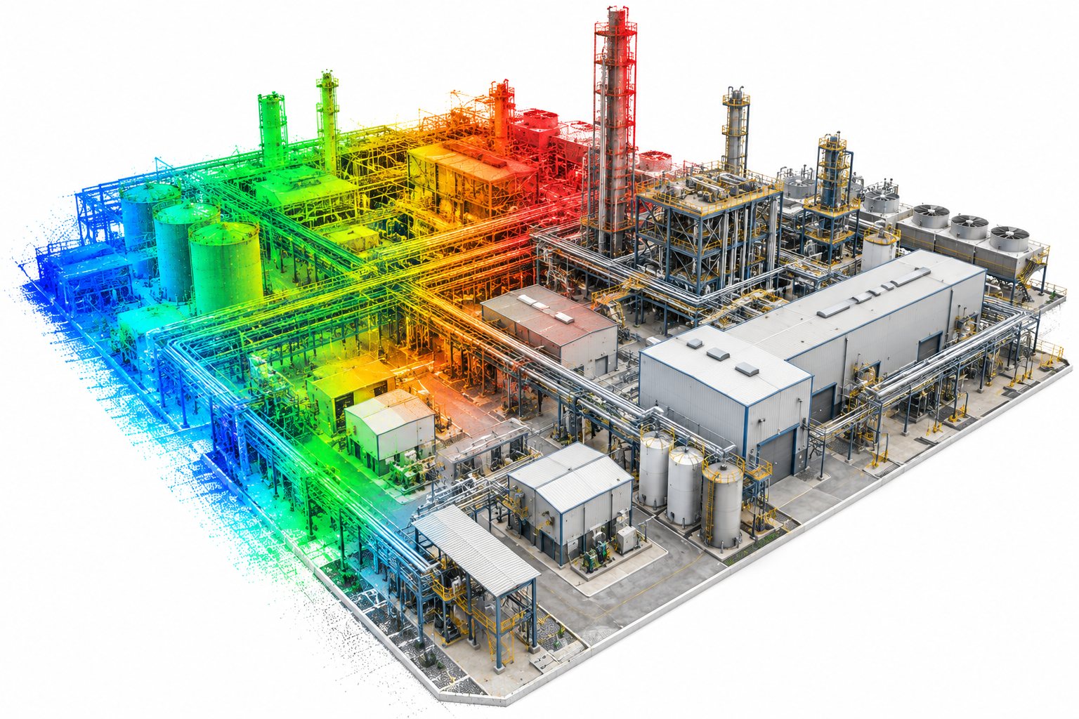
Structured processing of terrestrial, mobile and UAV LiDAR datasets with cleanup, organization, optimization and QA-focused delivery.

What we deliver

  • LAS / LAZ / E57 / RCP / RCS outputs
  • RGB and intensity point clouds
  • Noise reduction and data organization
  • Project-ready folder structure
LiDAR Data Processing hero image
02

Point Cloud Registration

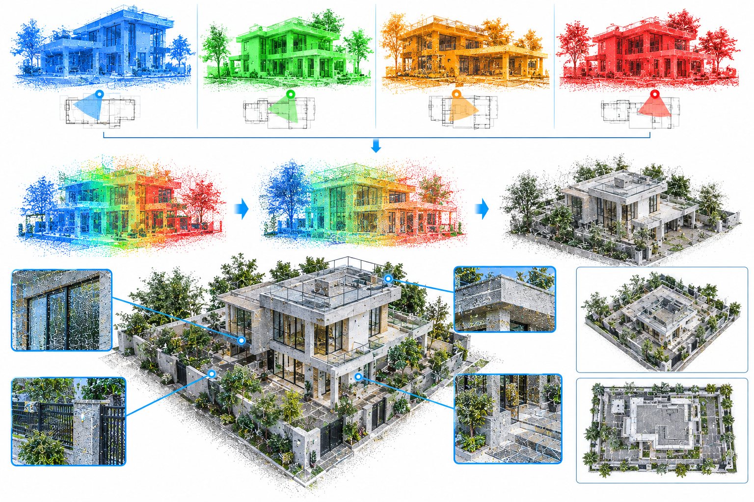
Accurate alignment of scan positions into a consistent coordinate framework, reviewed for overlap, alignment quality and visible errors.

What we deliver

  • Reliable scan alignment
  • Registration quality review
  • Reduced CAD/BIM rework
  • Organized registered datasets
Point Cloud Registration hero image
03

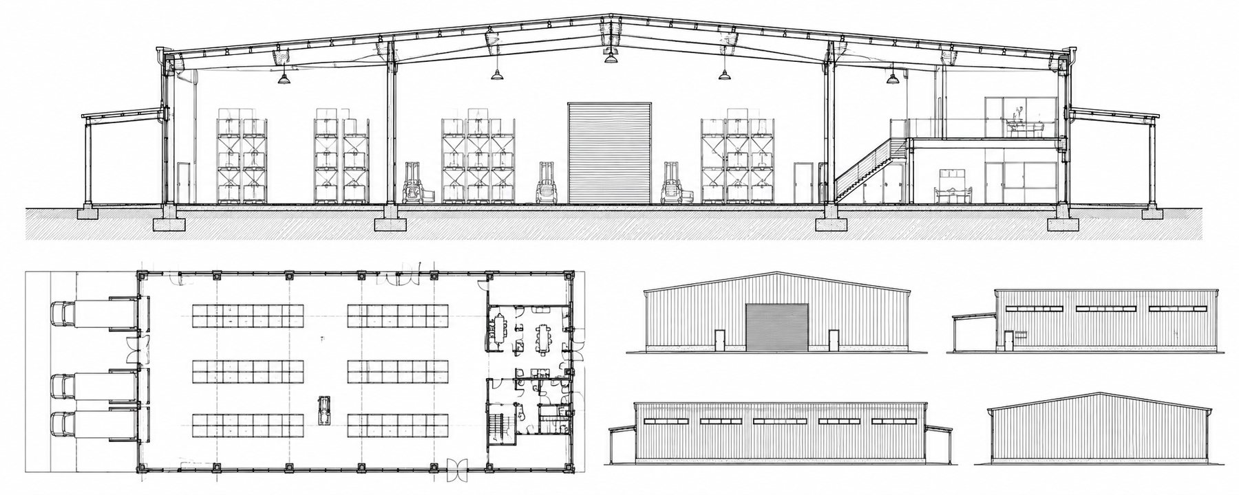
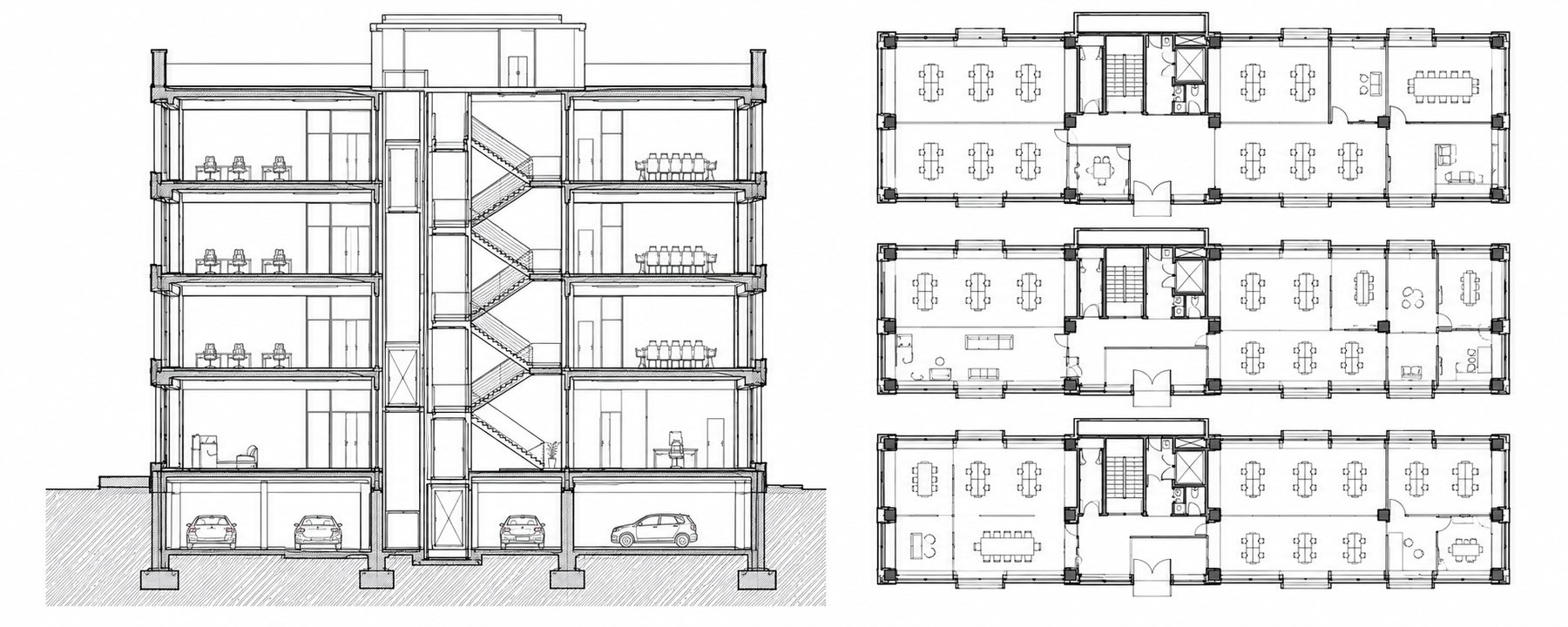
Point to CAD

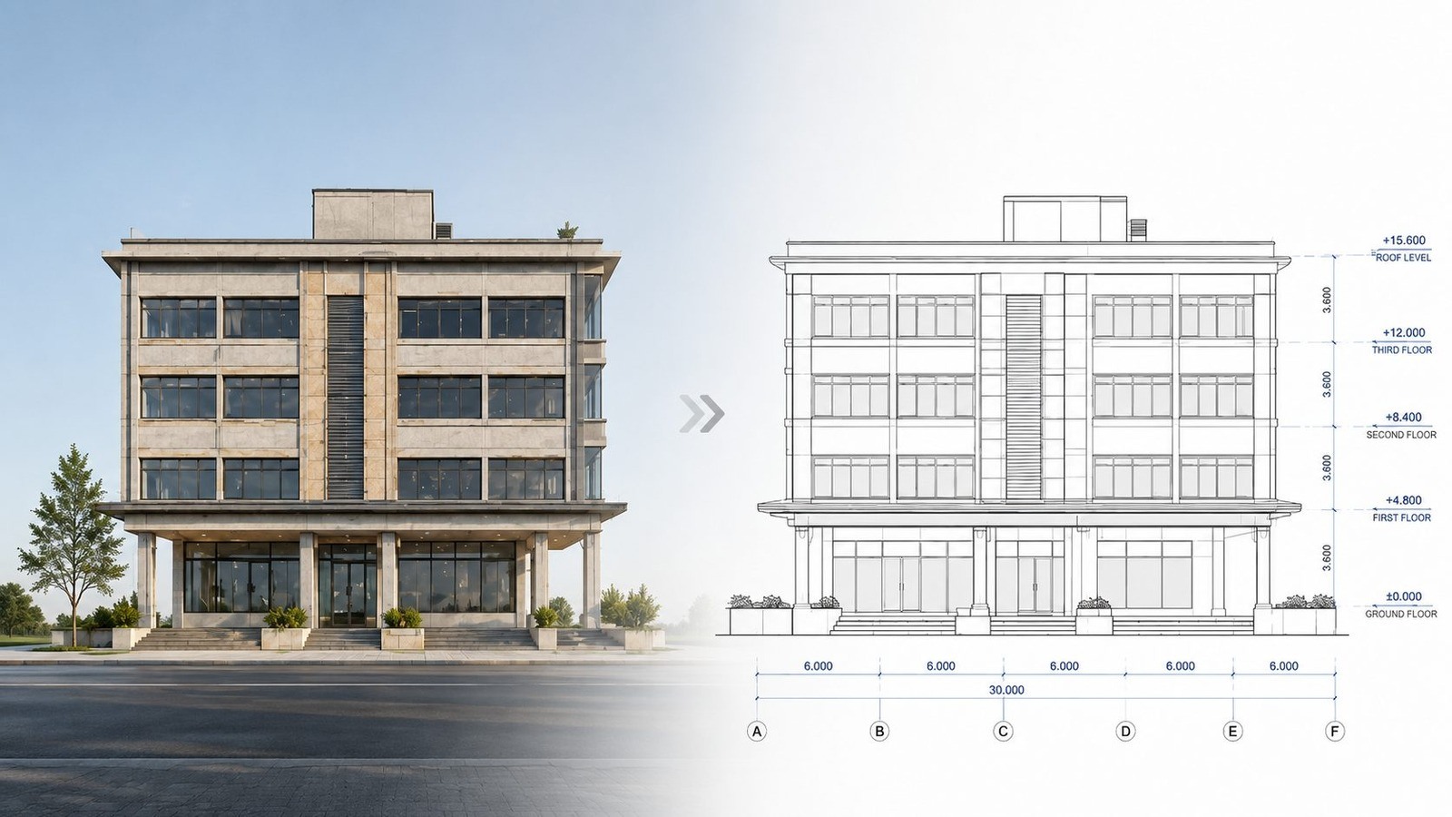
Conversion of registered point clouds into accurate plans, elevations, sections and CAD geometry based on client drawing standards.

What we deliver

  • Floor and roof plans
  • Elevations and sections
  • 2D drafting and 3D CAD
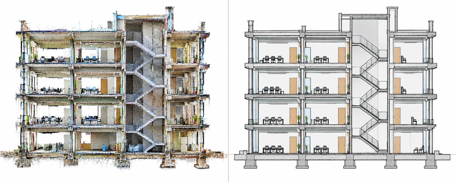
  • As-built documentation
Point to CAD hero image
04

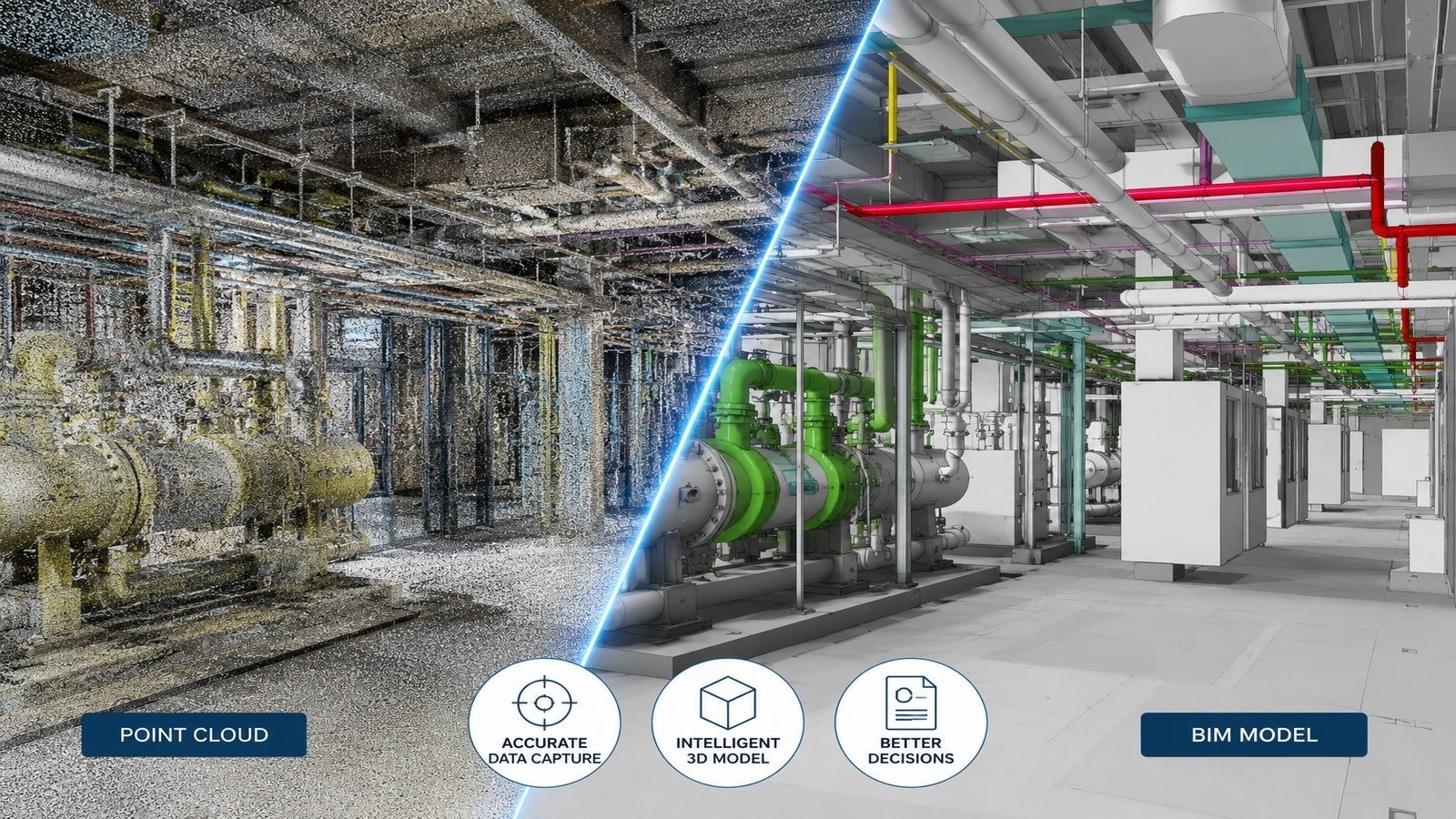
Point to BIM

Development of structured BIM models from registered point clouds for renovation, coordination, documentation and digital engineering.

What we deliver

  • Architectural modeling
  • Structural modeling
  • MEP support
  • RVT / IFC delivery
Point to BIM hero image
05

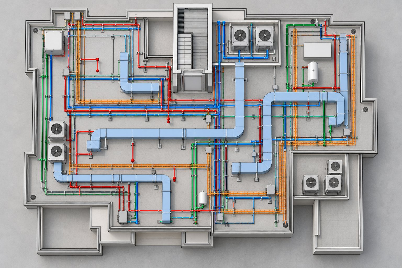
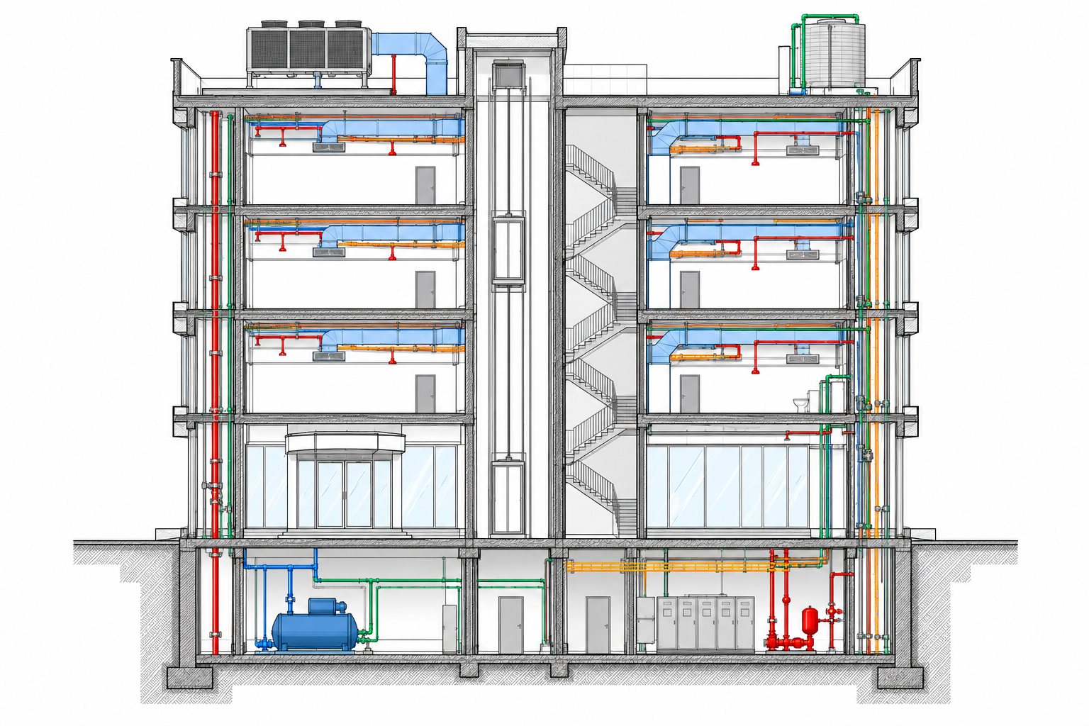
BIM Modeling

Organized architectural, structural and MEP modeling with consistent model structure and client-defined LOD and information requirements.

What we deliver

  • LOD / LOI-aligned models
  • Organized families and naming
  • Revision and coordination support
  • RVT and IFC formats
BIM Modeling hero image
06

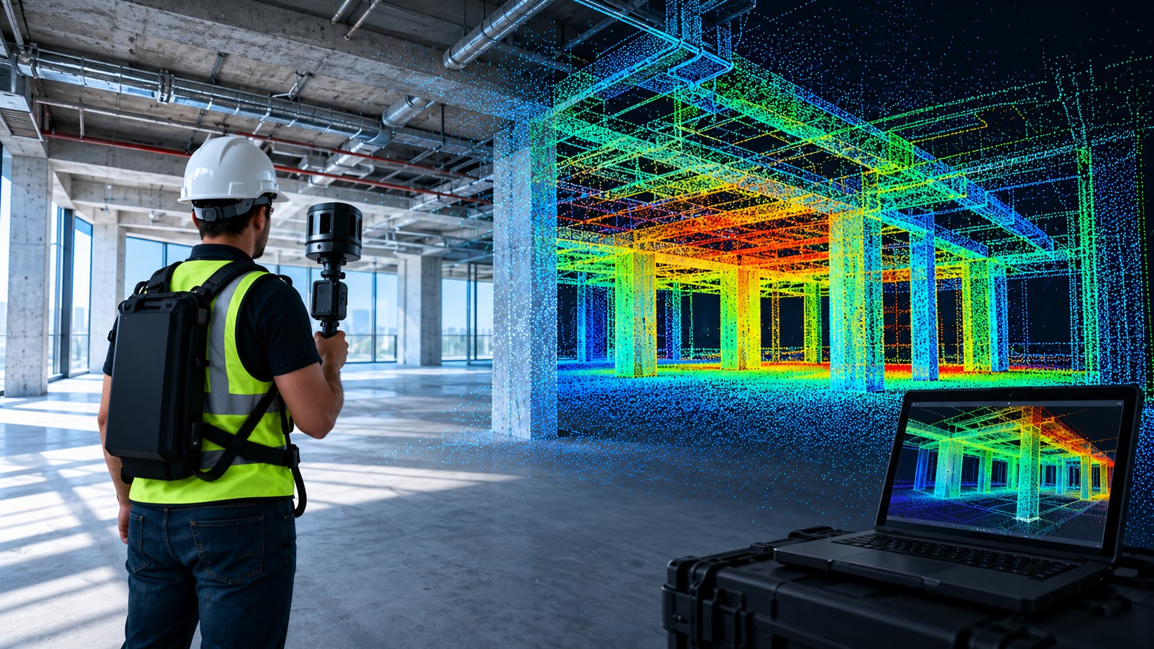
NavVis & Mobile Mapping Processing

Mobile mapping alignment, cleanup, optimization and structured delivery for buildings, facilities, corridors and urban environments.

What we deliver

  • Mobile scan alignment
  • Data cleanup and optimization
  • Area-wise project organization
  • CAD/BIM-ready outputs
NavVis & Mobile Mapping Processing hero image
07

Drone Data Processing

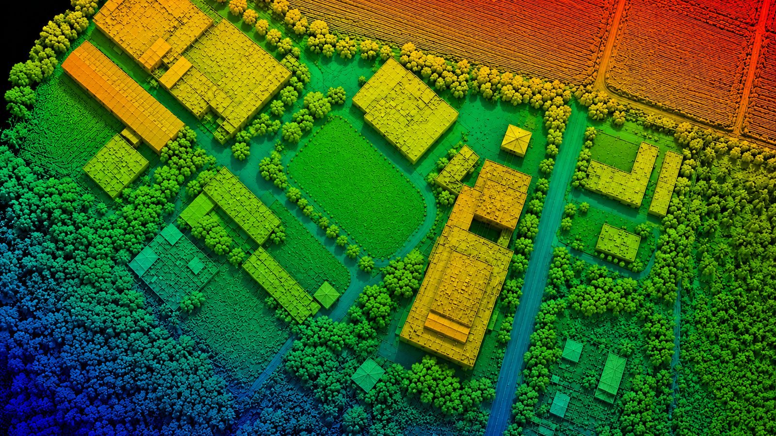
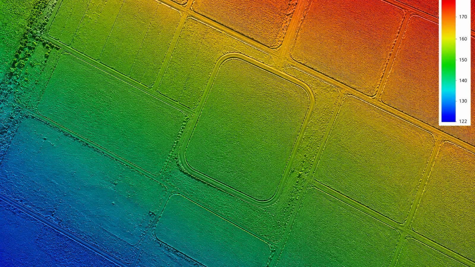
Processing of drone imagery and LiDAR data into accurate mapping and terrain deliverables based on coordinate and resolution requirements.

What we deliver

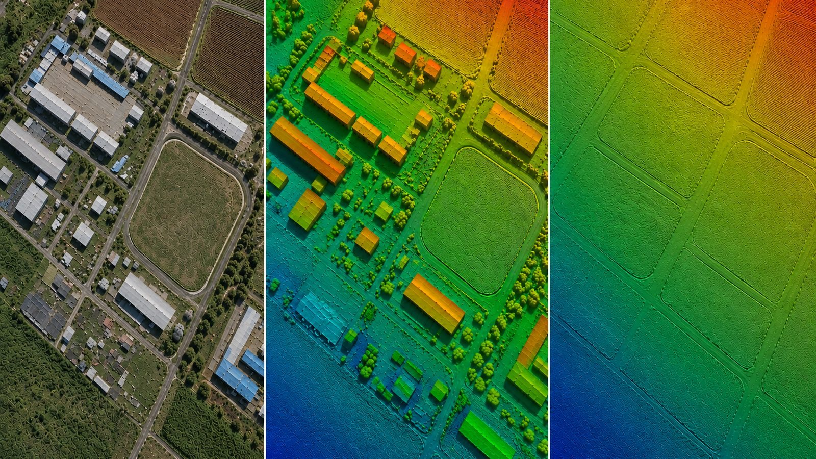
  • Orthophoto / GeoTIFF
  • DSM and DTM
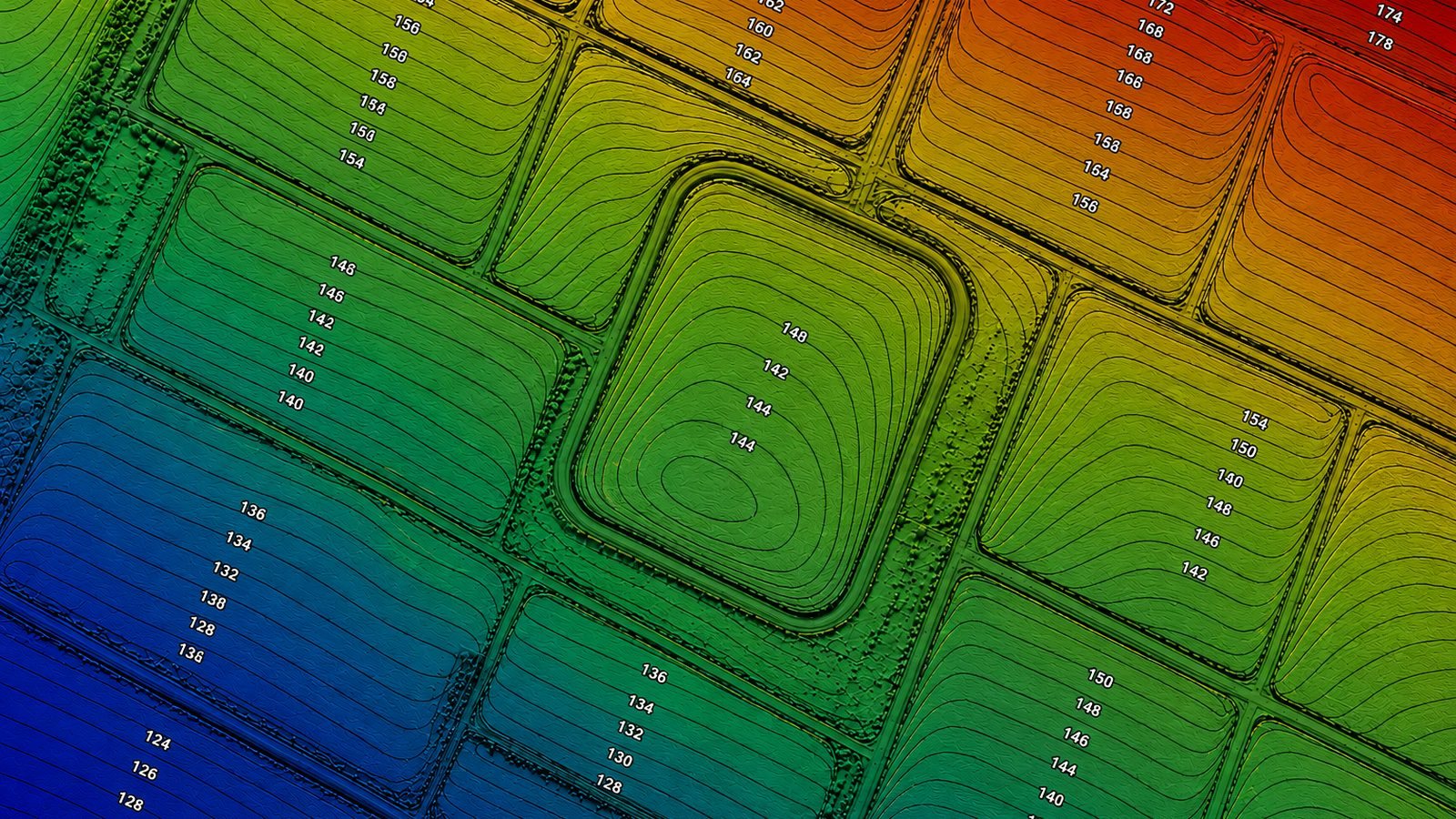
  • Contours
  • Tiled project delivery
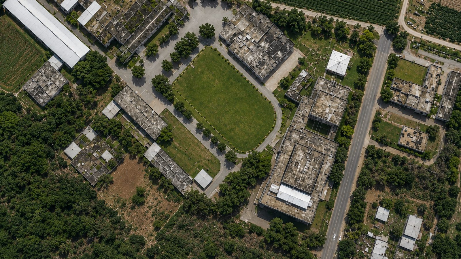
Drone Data Processing hero image
08

Bridge & Infrastructure Processing

Point cloud processing for bridges, railways, roads and corridors to support structural review, mapping and engineering documentation.

What we deliver

  • Bridge and rail datasets
  • Road and corridor mapping
  • Sections and profiles
  • As-built support
Bridge & Infrastructure Processing hero image
09

Transmission, Utility & Tunnel

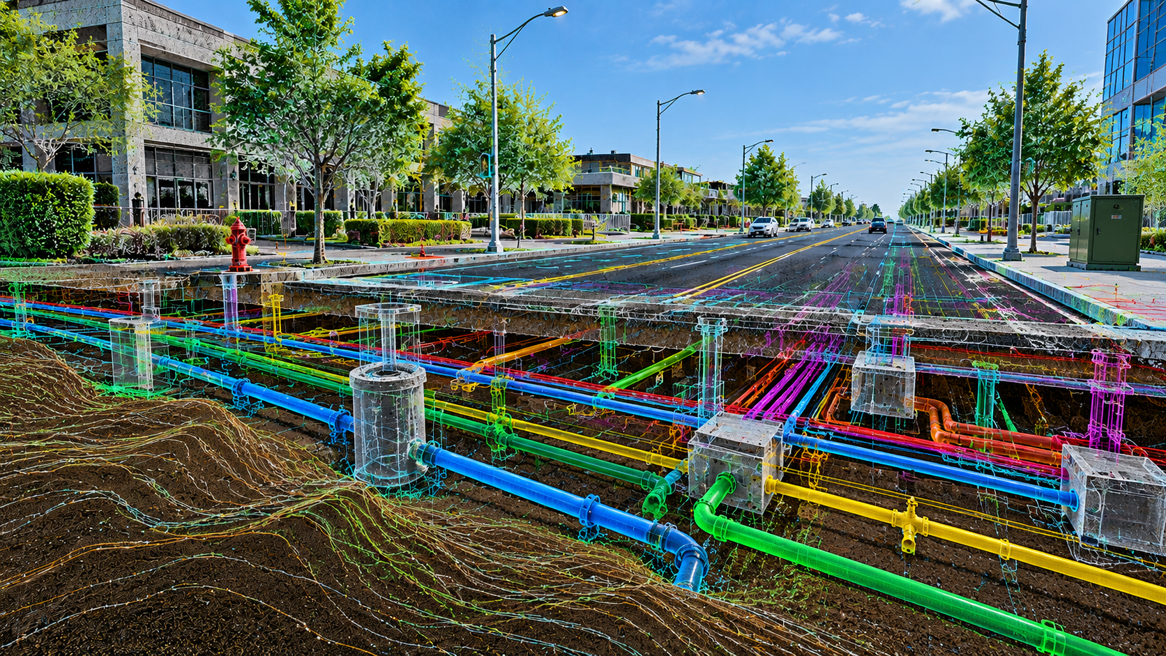
Structured processing of transmission, utility and tunnel datasets for engineering review, feature extraction and asset documentation.

What we deliver

  • Ground and terrain outputs
  • Towers, poles and conductors
  • Tunnel sections and profiles
  • Feature-based deliverables
Transmission, Utility & Tunnel hero image
10

RGB & Intensity Outputs

Clear RGB and intensity point cloud outputs prepared for technical interpretation, visualization and downstream production workflows.

What we deliver

  • RGB point clouds
  • Intensity visualization
  • Engineering review outputs
  • Optimized delivery formats
RGB & Intensity Outputs hero image

WORKFLOW

From project data to dependable delivery.

01

Requirement Review

Input data, coordinate system, output formats, technical scope and timeline are confirmed.

02

Production Planning

Data is organized into practical stages with defined naming, priorities and deliverables.

03

Processing & QA/QC

Registration, cleanup, CAD, BIM or mapping production is completed with technical checks.

04

Delivery & Support

Final outputs are delivered in organized folders with support for agreed revisions.

ABOUT POINT PEAK 3D

Engineering clarity through every point.

Point Peak 3D works as a dependable processing and digital-engineering partner for global project teams. We focus on usable technical outputs, responsive communication, confidentiality and on-time delivery.

QualityDefined QA workflow
ScalableSmall to large datasets
GlobalRemote project support
Point Peak 3D LiDAR processing

CONTACT US

Share your requirement for a technical review.

Provide the data type, approximate size, coordinate system, expected output and required timeline. We will respond with a clear next-step plan.

Important: FormSubmit sends a one-time activation email to info@pointpeak3d.com after the first enquiry. Open that email and click Activate once.

LEADERSHIP

Atul Sharma

Founder & CEO

Leading client relationships, business development, partnerships and global project coordination for Point Peak 3D.